Information about the region
Information about the region
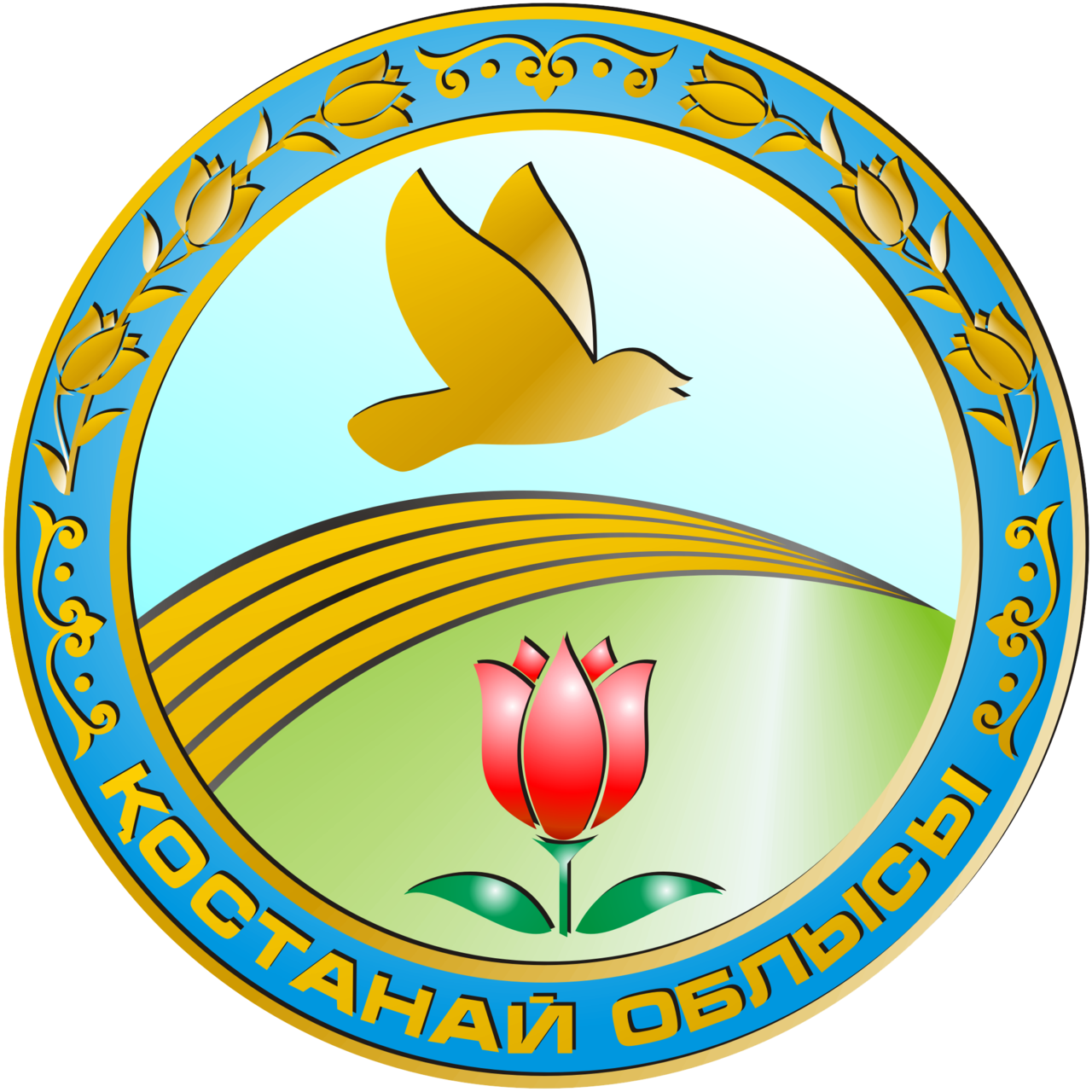
Kostanay region (kaz. Kostanai oblysy) is a region in the north of Kazakhstan. The administrative center is the city of Kostanay.
Kostanay region is located in the northern part of Kazakhstan, in the Trans-Urals, mainly in the steppe zone.
Square
196 001 sq. km.
Neighboring regions and countries:
- in the north - RF
- in the south - Karaganda
- in the west - RF
Climatic conditions
- Moderate sharply continental, arid.
- Winter is cold, with little snow, with strong winds and snowstorms; summer is hot and dry.
Geographical data
Kostanay region is a land of several thousand salt lakes. They could have turned into salt marshes long ago, if not for the peculiarities of the local nature, thanks to which they do not completely dry out.
Most of the Kostanay region is occupied by the Turgay and Trans-Ural plateaus with altitudes of 200-300 m. This area is divided everywhere by ravines with steep slopes, interspersed with extensive hollows and wide valleys. The largest are the Turgay hollow with the Ubagan River and a chain of fresh and salt lakes, as well as a valley in the upper reaches of the largest river here, the Tobol. It flows almost through the entire territory from south to north, starting from the spurs of the Southern Urals. In the spring, it and its tributaries flood heavily: this period accounts for up to 95% of the total annual flow. But in the summer they become shallow or break into separate stretches. In order to retain flood water and use it for irrigation, several dams and dams have been built on the rivers that completely regulate the flow.
In the north-west there are foothill plains and spurs of the Urals, and in the north-east there is the Pre-Turgai plain descending to the north with heights of 120-150 m. There are also a lot of small and shallow lakes: in total, there are more than 5 thousand of them in the region, the Kazakh melkosopochnik occupies the southeast.
About the Region
The region includes 16 districts and 4 cities of regional subordination:
- Altynsarinsky district — Ubaganskoye village
- Amangeldy district — the village of Amangeldy
- Auliekol district — Auliekol village
- Denisovsky district — the village of Denisovka
- Dzhangeldinsky district — Turgay village
- Zhitikarinsky district — the city of Zhitikara
- Kamystinsky district — the village of Kamysty
- Karabalyk district — the village of Karabalyk
- Karasu district — the village of Karasu
- Kostanay district — the city of Tobyl
- Mendykarinsky district — the village of Borovskaya
- Naurzumsky district — the village of Karamendy
- Sarykolsky district — the village of Sarykol
- Beimbet Maylin District — Ayet village
- Uzunkol district — the village of Uzunkol
- Fedorovsky district — the village of Fedorovka
- Arkalyk
- Kostanay
- Lisakovsk
- Rudny
Population 826,1
(november 2024)
GRP 107,7%
(January-June 2024 to 2023)
Inflation 7,6%
(november 2024)
Average monthly salary 347
(II quarter of 2024)
Gross inflow of direct investments 90.2
$ million (for the second quarter of 2024)
Trade turnover 5169,2
$ million (for January-September 2024)
*Excluding small businesses engaged in entrepreneurial activities.
